


Shortly before our bikepacking trip began, I messaged everyone in the group chat: “Please expect surprise flooded segments, private property gates blocking our intended roads, and major unplanned reroutes.” I felt like I needed to manage expectations and prepare everyone in case this route totally sucked.
I live in Wisconsin and have never been anywhere near Itasca County, Minnesota in my life. I also couldn’t find anyone to talk with who had. Local bike shops? Nope. An old riding club that used to be there? Nope. Random and aimless Googling? Nope. I found zero sources of information so I spent much of the spring planning this trip from scratch. Our route was based entirely on fuzzy satellite imagery and Ride With GPS heatmaps showing where other riders in the cycling community have ridden before. Plus a bit of GravelMap.com which in my opinion is a worst-case scenario planning tool that visualizes some gravel but is cumbersome for route planning.
The Land of 10,000 Things That Could Go Wrong
Minnesota has an abundance of off-grid gravel roads that are perfect for bikepacking. They are all low traffic and meander through gorgeous hilly natural areas with quiet forests and scattered lakes. Minnesota has a small handful of published bikepacking.com and The Nxrth routes in the popular regions such as the North Shore of Lake Superior in the north and the Driftless area in the south. But outside of those areas, there aren’t a lot of vetted routes with detailed summaries when it comes to bikepacking.
For this trip, I wanted to scout a new bikepacking route that included great camping, tons of lakes, an occasional bar or restaurant, and beautiful scenery that would take me to a less popular area. I spent hours studying satellite imagery and bike route maps to try to discover the perfect place for a new bikepacking route that had an incredible network of gravel roads. Northern Itasca County, Minnesota checked all of my boxes so I began inviting friends to join me.
I’ve learned the hard way that when you’re scouting a new territory (and you can’t find anyone who has ridden there), it’s pretty important to manage expectations. It goes a long way to let everyone know exactly what they’re getting themselves into and how much of the route is based on confident fact checking and ride reports and how much of the route is based on naive, wishful thinking. Hence the warning message I texted everyone in the group a few weeks before the trip.
Choosing a Rig
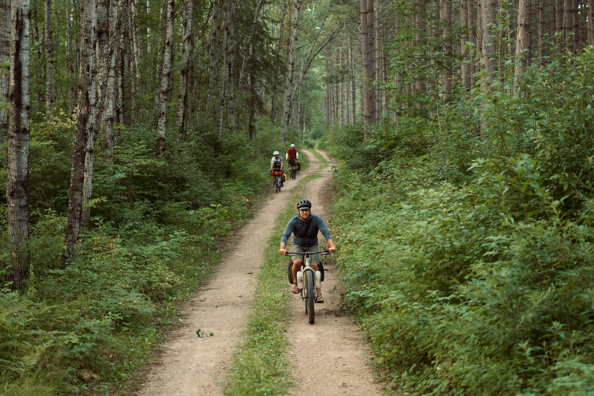
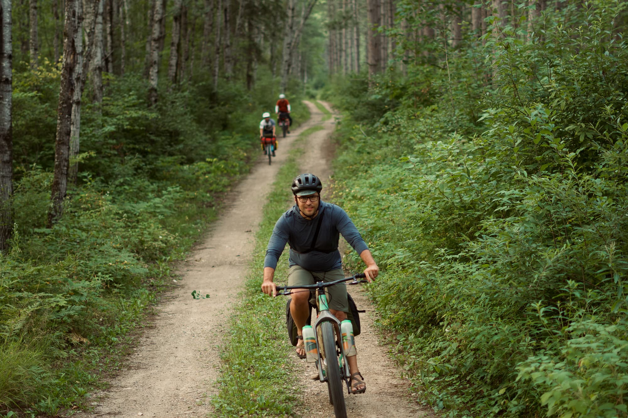
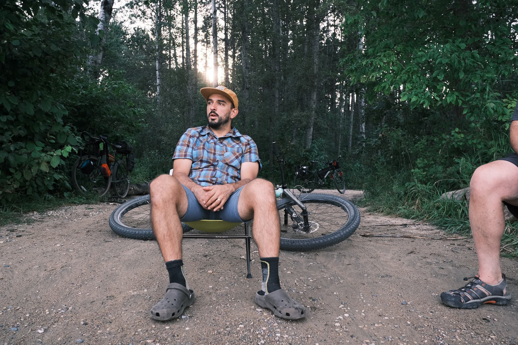
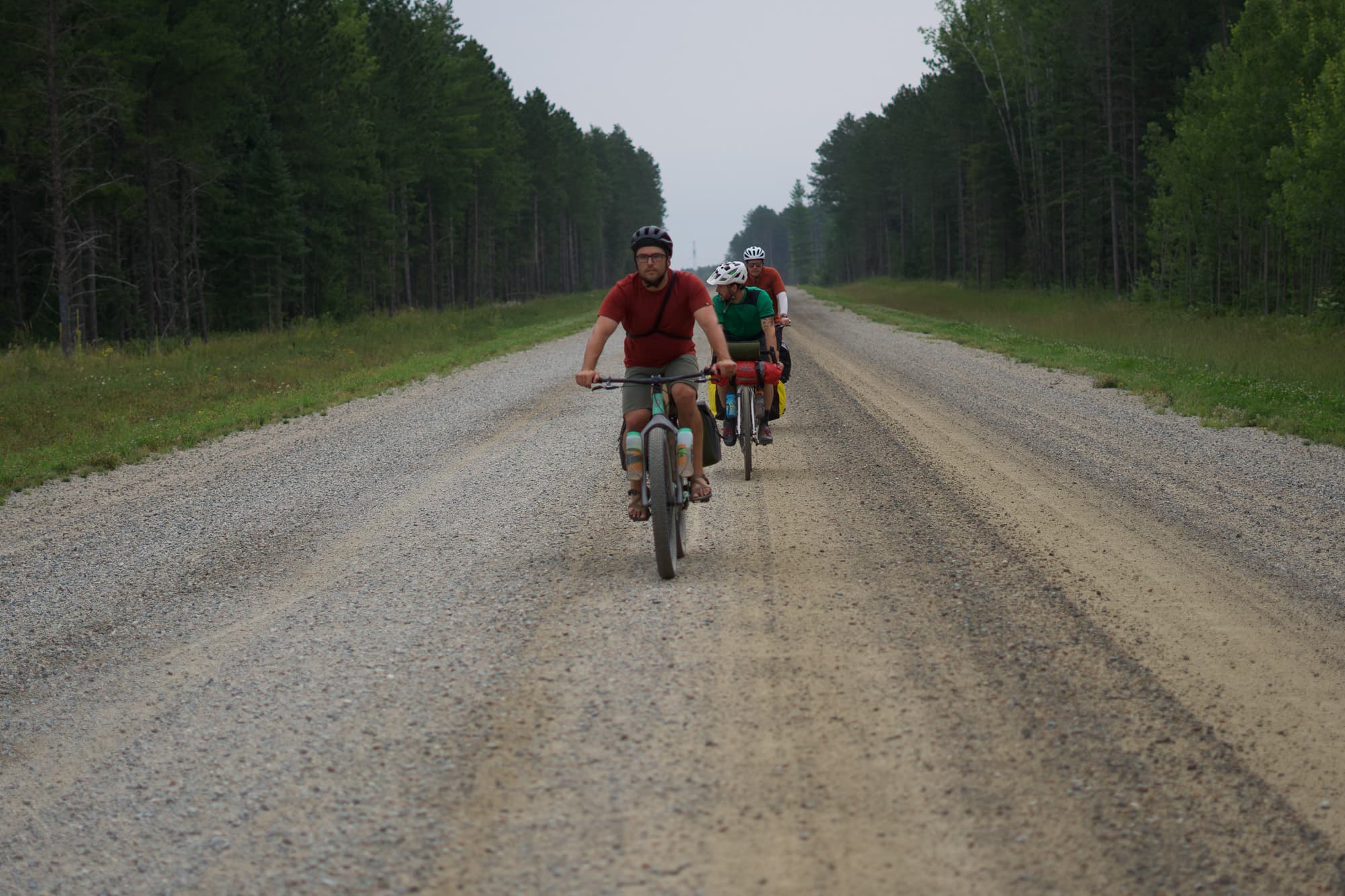
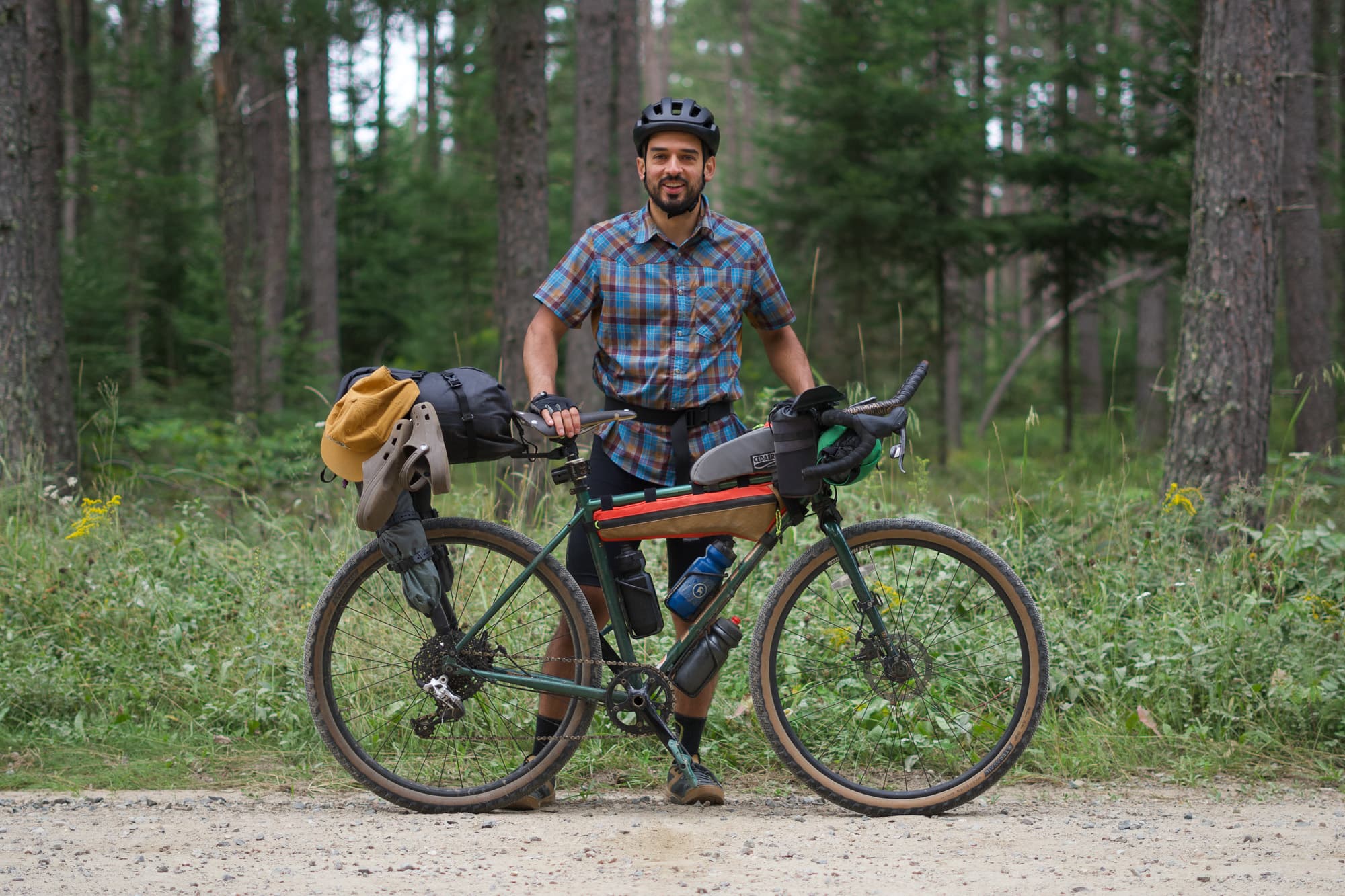
As the trip approached, we bantered about what kind of bike to bring and the group had thinned from ten people to four. We would all be riding completely different bike setups: skinny gravel tires with panniers, meaty gravel tires with a Tailfin setup, mountain bike with panniers, and a minty Salsa Blackborow plus-tire dinglespeed with panniers. This wide variety of setups was particularly exciting for me as it would give us the full spectrum of experiences to iron out what worked well for this route. Virtually every bikepacking route forum on the internet includes someone asking the question, “what’s the right tire size for this route?”, and gosh darnit, we were going to find out the answer to that!
When we arrived at the Antler Store & Lodge’s gravel parking area and started off on our first mile, I knew I was lucky. Building a bikepacking route 4.5 hours from home off of satellite images of gravel roads is risky business. Amazing looking gravel can often be deceiving and turn out to be real sucky, friendship-ending sand instead of gravel. But, this was gravel-gravel. The good kind. I was prepared for the possibility of this trip turning my friends into enemies who would swear off riding my routes. But you gotta take some chances sometimes… and this one went in our favor.
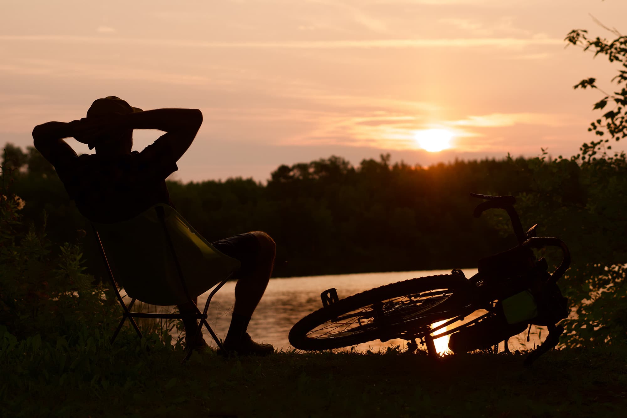
The Lakenights
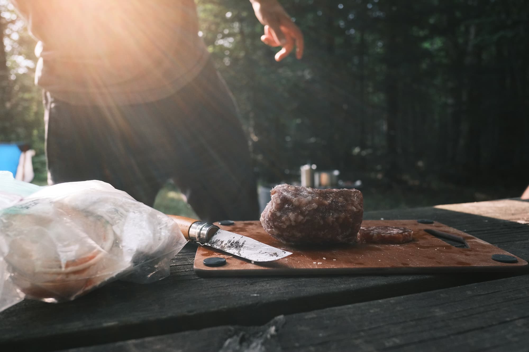
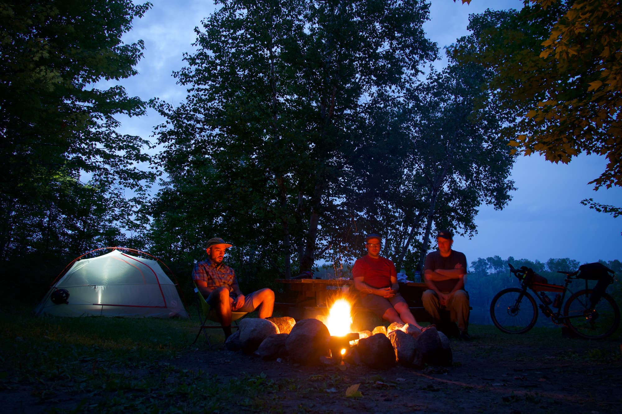
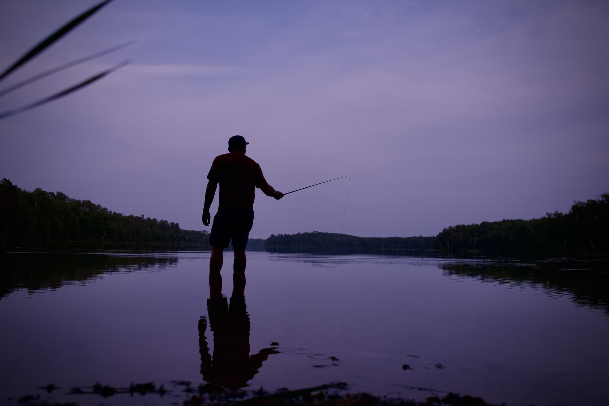
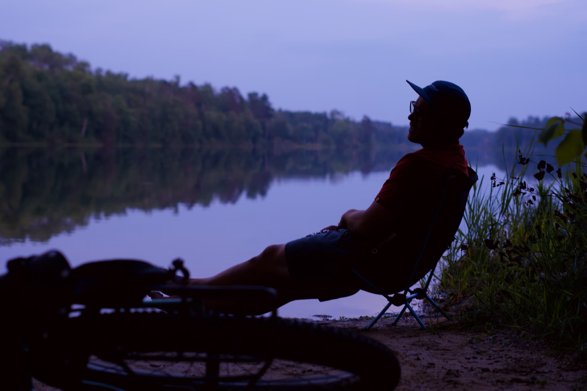
For our first night, we aimed for a remote lake, Arrowhead Lake, with an old dispersed lakeside campsite that didn’t show up on any mapping apps except Gaia GPS. Biking during the day, we saw almost no cars whatsoever. With 1,400 lakes in Itasca County alone, it’s a massive network of deep forests, randomly strewn lakes, and ultra low traffic roads, so it wasn’t a surprise to roll up and find our intended lakeside campsite wide open with no one around. Everyone was excited to have this corner of the county all to ourselves so we set up tents adjacent to the lake and then promptly got out a deck of cards and a cutting board. My friend Josh taught me “River Dog” cribbage rules (dude, cribbage was seriously long overdue for some funner house rules thrown in) while we enjoyed some fancy salami and bread roll before biking back to the boat landing for swimming, fishing, and late night conversations as the darkness set in.
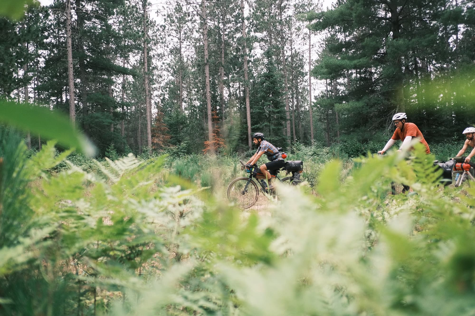
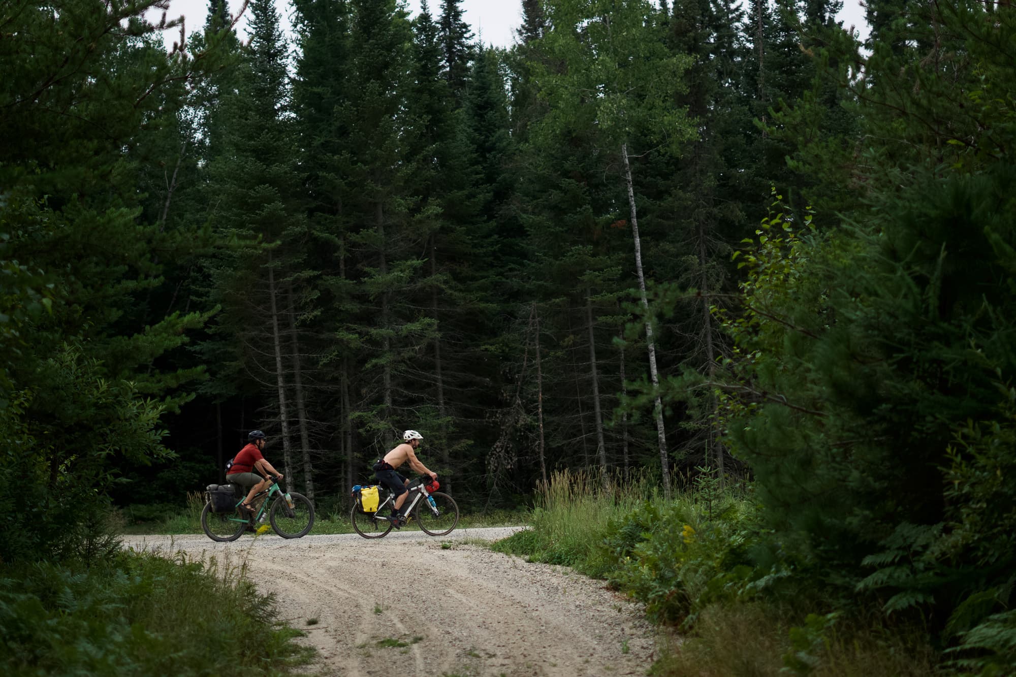
The next morning the sunrise over the lake woke us up nice and early for our long day heading toward Bear Lake campground. Day two was a little rougher. The miles were longer, the roads chunkier as we found the no-car ATV routes. Every great adventure has its unknowns and fair share of challenges and we all reached our physical limit on these chunky, rocky ATV sections and found a few miles of pretty sandy roads that had us getting on and off the bikes. Josh on the dinglespeed also geared down, so you know things were getting serious. Because the group had no reports from anyone who had ridden these trails, we embraced the adventure and the slower pace of breaking through the harder terrain and chugged along.
After finally getting off a long and rough ATV section, we found out our road to that night’s campsite would be yet another five miles of barely used abandoned rocky, gravel road. Being a route planner is awesome. I truly love the surprises of finding out what a line on a map will turn into when you finally get to see it in person. Roads that seem so legit that even Google will try sending you through them in a car can easily turn into totally busted up river beds, private property, or “winter-only” roads which are a treat in cold weather regions. One such phone call before the trip to the Itasca County forestry department really saved my butt when I sent them my intended route and they kindly let me know that several miles of my roads were “winter-only” roads which means they’re huge flooded areas that are only usable in the winter when they completely freeze over. Whew, one major flooded reroute avoided.
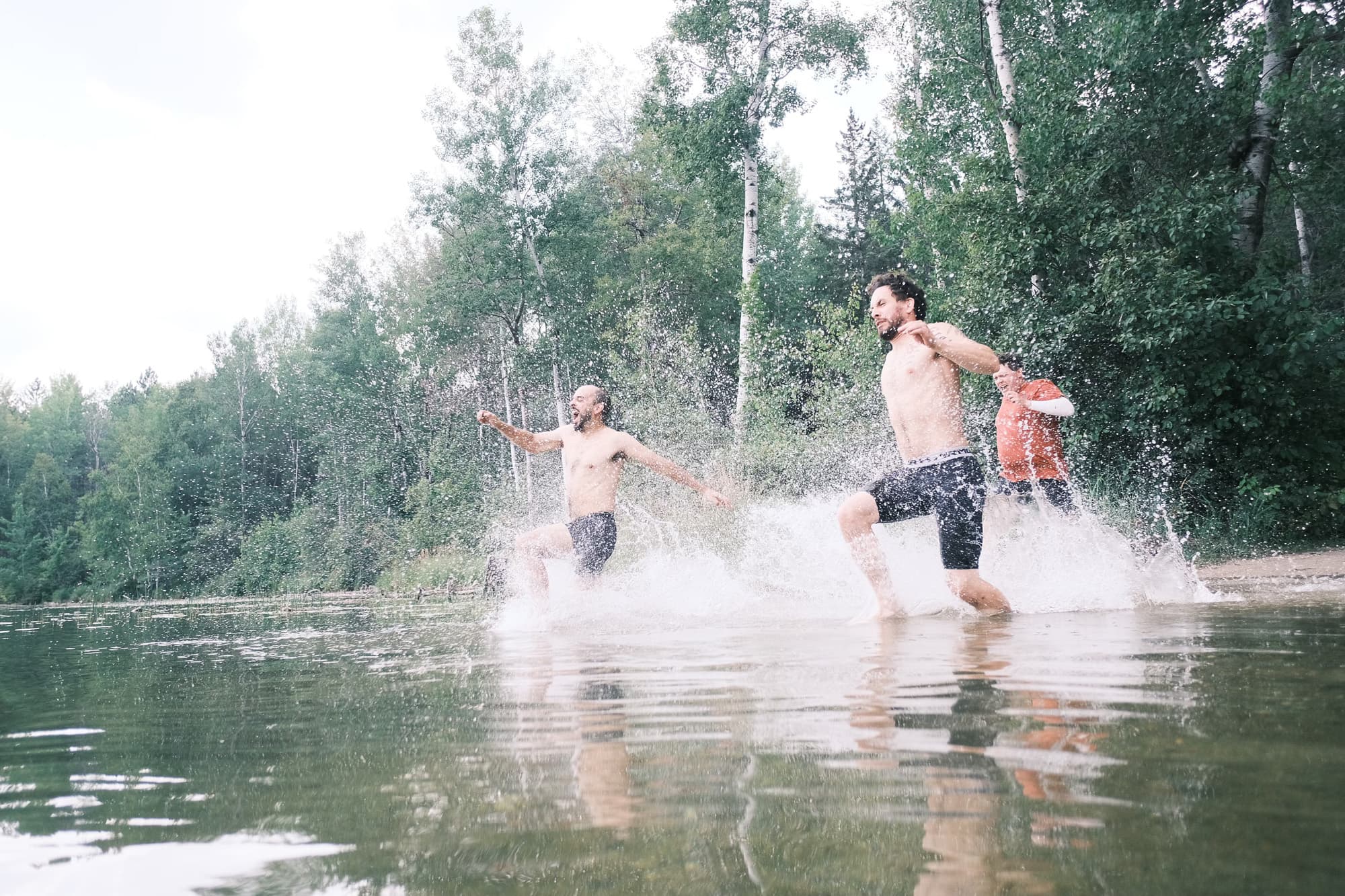
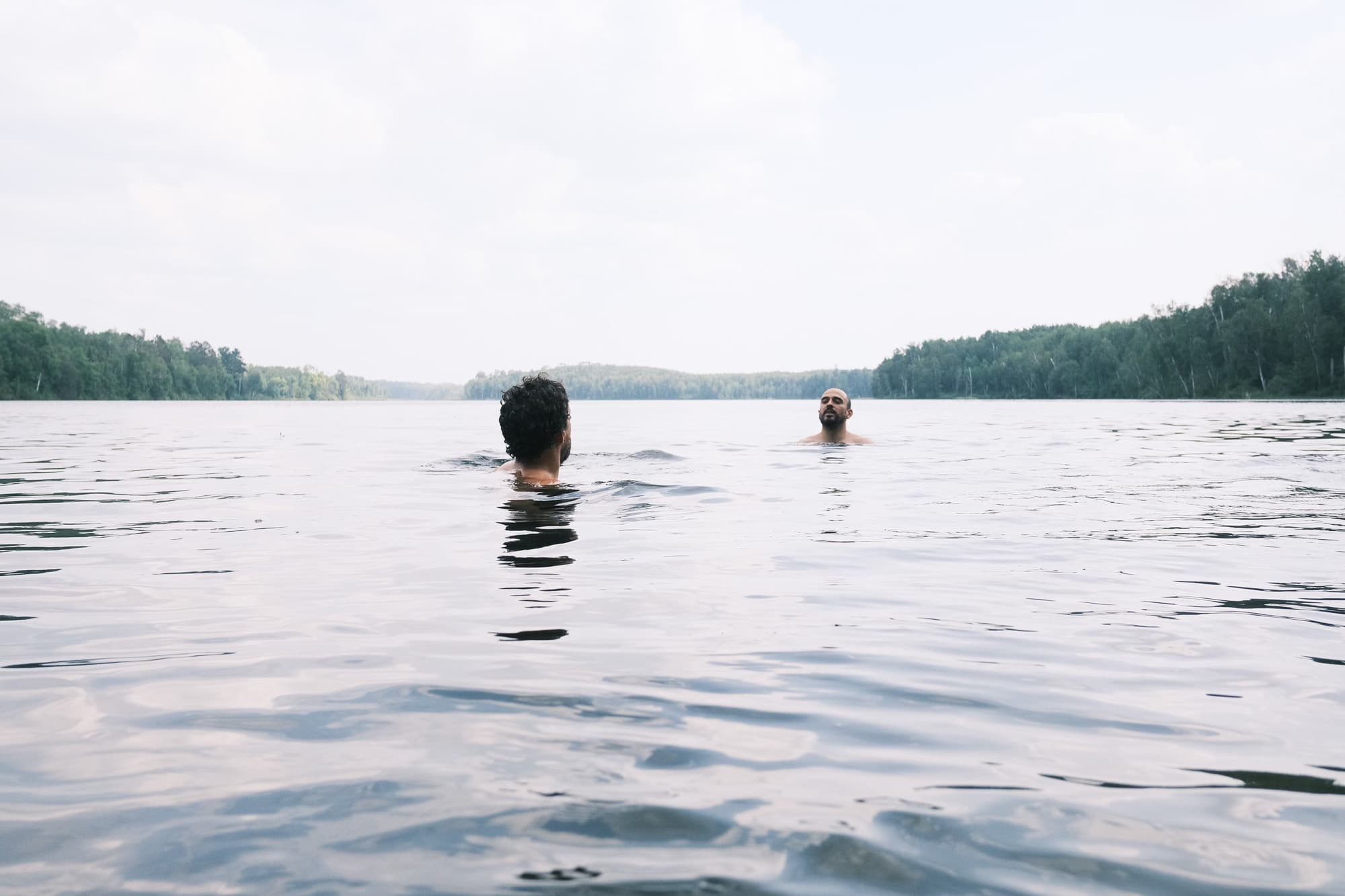
But arriving at the lake and setting up camp made those low traffic and somewhat jacked up sections all worth it. Bear Lake campground is a charming little place with a long shoreline, sandy beach, and nice wooded sites. We washed off the day’s hard work with a long swim and banter around the campsite.
Burger Session in the Woods
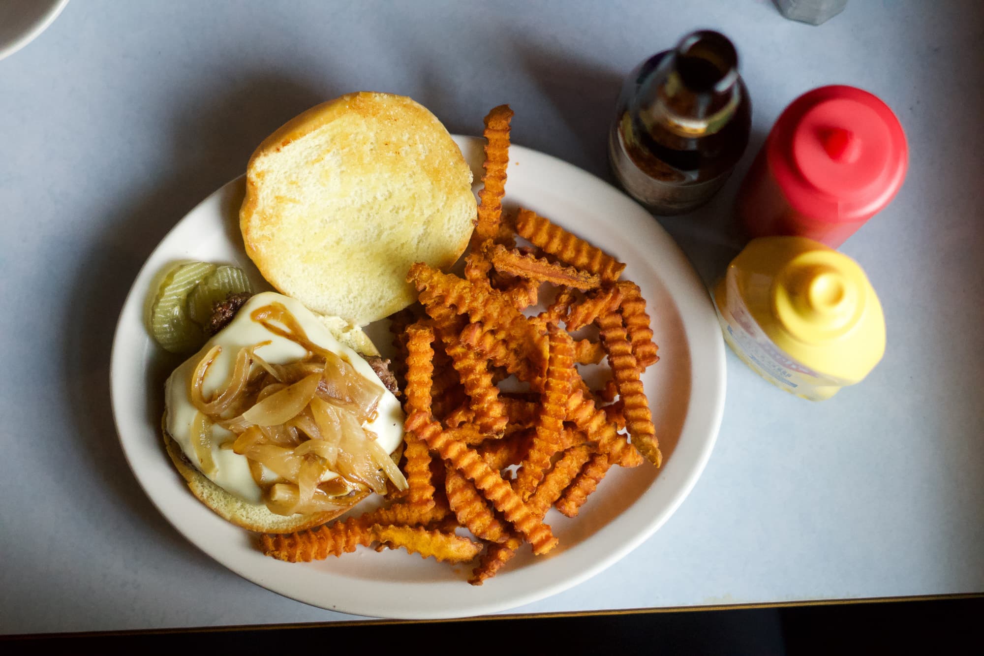
Our last day was the smoothest. Our destination was my favorite part of every bikepacking trip: grabbing a burger and beer to celebrate the trip and recounting stories together. Honestly, what kind of respectable bikepacking route doesn’t end at a nice greasy food joint in the woods? This post-adventure burger session filled me with joy and got me thinking about what a blessing it is to share these memories with great friends. They let me experiment trying new things in new places and I hope the memory is something they can cherish like I know that I will.
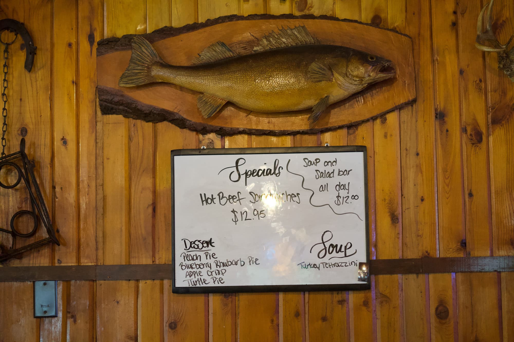
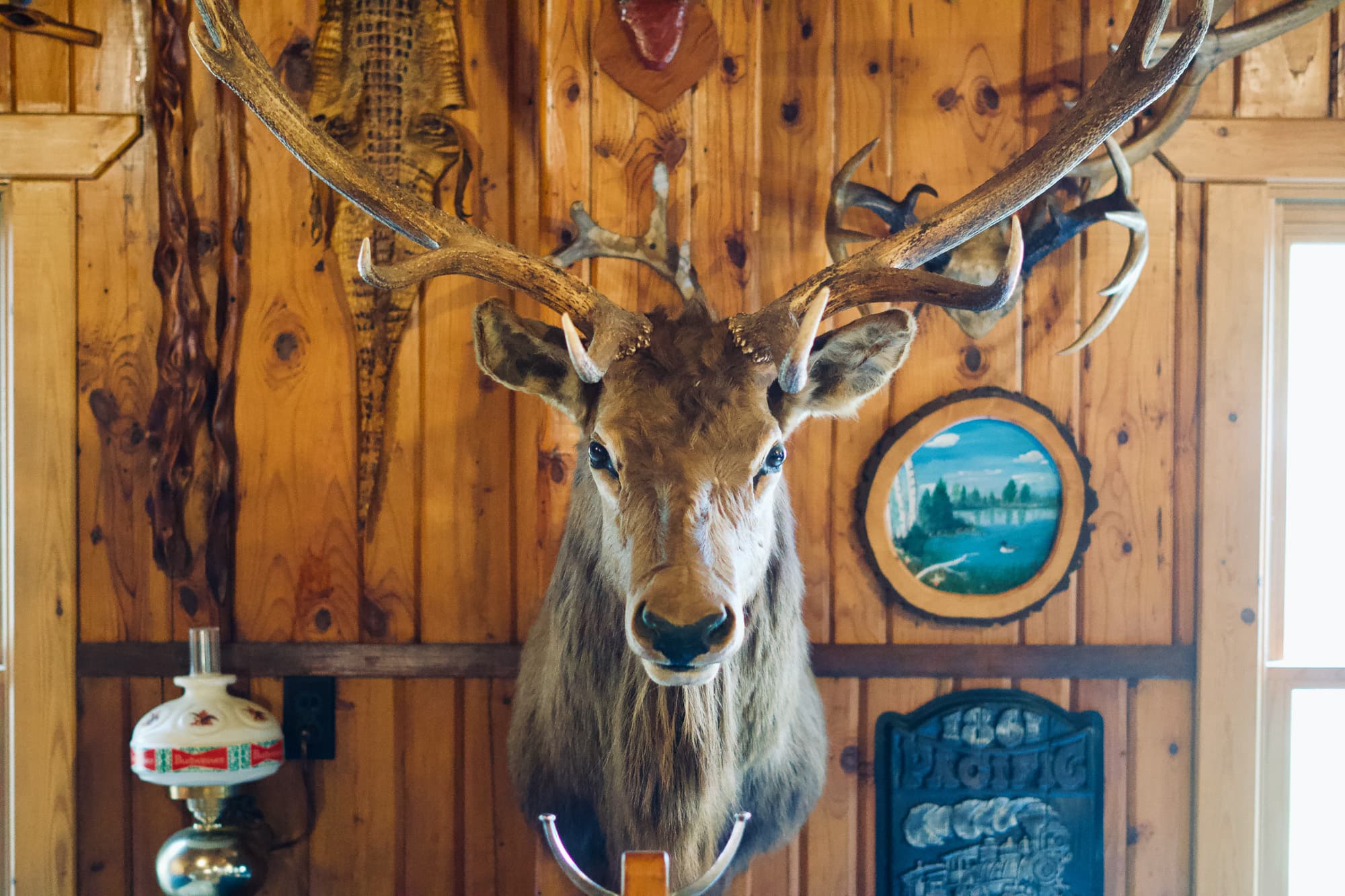
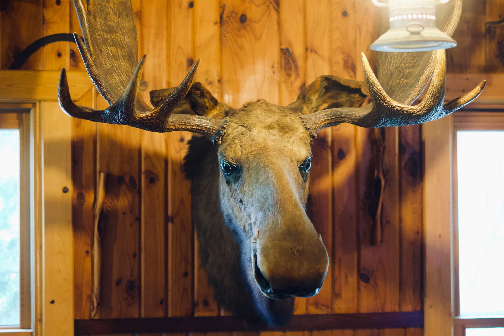
Our host was the Antler Lodge and it was the perfect up-north woodsy bar and grill for kicking back before the drive home. There were deer and fish mounts on nearly every square inch of the wood-paneled walls, hundreds of them. Eating at the Antler Lodge felt like taking a bath in northwoods hunting and finishing culture. After eating, I certainly didn’t want to peel off my sweaty layers, change into my car clothes, and drive home but every trip has to come to an end.
The Joy of Route Planning
On this trip, I got lucky as a route planner. One of my previous made-from-scratch bikepacking routes didn’t go as well and turned into endless unrideable sand with a dash of why-did-we-let-josh-plan-this-route? But that was memorable for its own reasons and it makes the smooth adventures feel all that much more special. Transparently, I do love some hike-a-bike, some backtracking, and a good old fashioned group brainstorming session asking ourselves, “how in the heck are we going to get out of this mess and salvage this ride?”
This year’s bikepacking trip didn’t have very much of that which just made it the normal kind of fun and it was awesome. It was especially nice not having to apologize to the group for dragging them along if it would have turned into awful surface conditions.
When I first studied the satellite imagery it just felt like one of those spots that was born for long days riding and long nights swimming. And that’s exactly what we got.
Having spent some beautiful nights around lakes, we named the route “The Itasca Lakenights”. I love following guided routes from those who have been there before but this time it was our turn to scout a new route to share with the adventure cycling community. To learn more about this bikepacking route, visit The Itasca Lakenights Bikepacking Route.

